English
  Turkish


05
11
574 Person Viewed
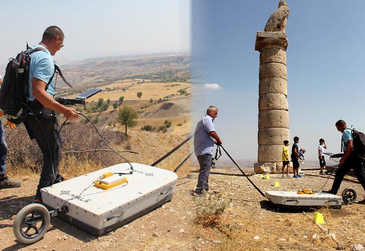
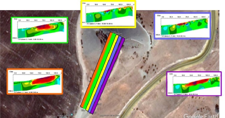
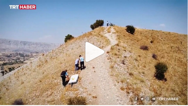
Commagene Civilization
For the continuation of the news on TRT Haber: Instagram'da TRT Haber: “Kommagene Uygarlığı'nın önemli merkezlerinden birisi olan Karakuş Tümülüsü [..]